


|
By clicking Subscribe, I agree to receive advertising and other marketing messages from ToyTrends.com under the terms of the Privacy Policy and User Agreement. |
|
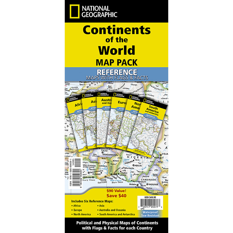
Embark on a journey through the rich tapestry of Europe with National Geographic's Europe Classic Map, now available in a durable laminated format for lasting reliability. Expertly researched and designed, this map stands as the authoritative reference for the continent, meticulously crafted to provide unparalleled accuracy and detail. Featuring National Geographic's signature Classic style with a bright color palette and colorful borders, this map offers clarity and readability that make it an indispensable tool for exploration and education.
From the towering peaks of the Alps to the picturesque coastlines of the Mediterranean, every geographic feature is depicted with precision, thanks to the subtle shaded relief and meticulously labeled landforms. Major water bodies, including rivers, lakes, and oceans, are clearly delineated, while accurately defined international boundaries, cities, islands, and airports provide essential geographic context. Thousands of place names are strategically placed to ensure legibility, even in heavily populated areas, offering a comprehensive overview of Europe's rich tapestry of cultures and landscapes. With up-to-date international boundaries and territorial control reflecting the current geopolitical landscape, this map provides a reliable reference for students, travelers, and geography enthusiasts alike. Encapsulated in heavy-duty 1.6 mil laminate, this map is resistant to changes in humidity, ensuring long-lasting durability. Whether you're exploring the bustling streets of Paris or the historic landmarks of Rome, the National Geographic Europe Classic Map, laminated for reliability, is your essential guide to the wonders of Europe.
Countries shown include: Albania, Armenia, Austria, Azerbaijan, Belarus, Belgium, Bosnia & Herzegovina, Bulgaria, Croatia, Cyprus, Czech Republic, Denmark, Estonia, Finland, France, Georgia, Germany, Greece, Hungary, Iceland, Ireland, Italy, Kosovo, Latvia, Liechtenstein, Lithuania, Luxembourg, Moldova, Montenegro, The Netherlands, North Macedonia, Norway, Poland, Portugal, Romania, Russia, Serbia, Slovakia, Slovenia, Spain, Sweden, Switzerland, Turkey, Ukraine, and the United Kingdom.